
 Dr. Josef Koller
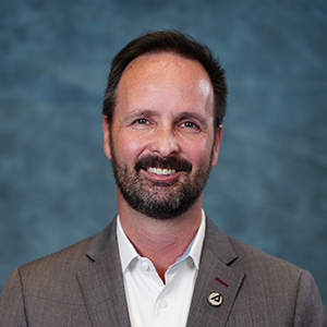
Dr. Josef Koller is a Systems Director for the Center for Space Policy and Strategy, serving as a senior analyst and team leader on topics that cut across policy, technology, and economics. Prior to joining Aerospace, Dr. Koller served as a Senior Advisor to the Office of the Secretary of Defense for Space Policy where he directly supported key national and international strategy efforts for space-related U.S. Government and DoD policy matters including commercial remote sensing, space traffic management, and related congressional affairs. Prior to that assignment, Dr. Koller managed and co-lead over 40 scientists in the “Space Science and Applications Group” at Los Alamos National Laboratory. Dr. Koller also established and led the Los Alamos Space Weather Summer School to promote graduate student research and outreach at the Laboratory.
Dr. Koller has over 17 years of experience with global security and space science programs. He has authored over 50 peer-reviewed scientific publications with 700 citations. Dr. Koller has a Ph.D. in Astrophysics from Rice University.
 Frank Avila
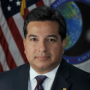
Mr. Avila is the acting Director of the NGA Commercial Operations Group, where he leads a group in solving national security mission challenges with innovative commercial GEOINT solutions while leveraging the power of commercial capabilities to achieve GEOINT supremacy, diplomacy, and sustainability. He is also the NGA representative to the IC Commercial Space Council (ICCSC) and the National Geospatial Advisory Committee (NGAC). Mr. Avila is a member of the Senior Intelligence Service (SIS).
He previously served as the Deputy Director of the Source Commercial and Business Operations Group, leading the discovery, assessment, and acquisition of trusted commercial GEOINT solutions for the NSG, and managing all business functions for the NGA Source Directorate; the Director of the Commercial GEOINT Discovery & Assessments Office, leading the coordination, and managing the discovery and assessment of commercial geospatial solutions; the Senior Scientist for the Office of Sciences and Methodologies in the Analysis Directorate, providing scientific and technical leadership in aspects of Imagery Science, and led the Analysis Directorate’s effort in developing its technical workforce to broaden and deepen analytic expertise; the National GEOINT Officer (NGO) for Imagery Science, the principal subject matter expert to the NGA Director on all aspects of GEOINT collection and analysis related to areas of Imagery Science.
In February 2012, Mr. Avila completed a Joint Duty Assignment with the National Measurement and Signature Intelligence (MASINT) Office at DIA as the Vice Chairman of the National MASINT Committee (MASCOM). During his years with the National Imagery and Mapping Agency (NIMA) and NGA he has led technical teams in Information Services and the Production Directorates, as well as serving as a Project Scientist in NIMA’s Science and Technology Directorate managing research and development projects related to spectral remote sensing technologies.
Mr. Avila has been with the U.S. Government as an Image Scientist for most of the last thirty plus years. He began his career in the Intelligence Community at the National Photographic Interpretation Center (NPIC) as an Image Scientist working on the processing and exploitation of spectral imagery.
Currently, he is a member of the National Geospatial Advisory Committee (NGAC), a Federal Committee sponsored by the Department of Interior and the Chair of the Landsat Advisory Group (LAG), an NGAC sub-committee. He is the NGA representative to the U.S. Group on Earth Observations (USGEO).
 Tara Gattis
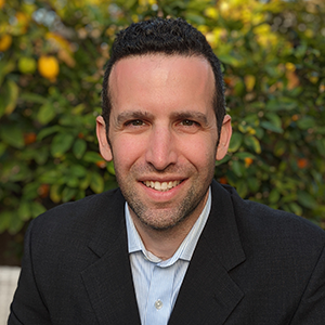
Tara Gattis spent 21 years at the National Geospatial-Intelligence Agency, leading innovation in intelligence analysis, artificial intelligence and computer vision, and industry engagement. In her government career, Tara served as an imagery analyst, specializing in military and counterterrorism issues. She supported the Office of the Director of National Intelligence, and led budget and strategy development on incorporating commercial analytics and analytic modernization efforts. At OSK, Tara serves as the DIrector, Government Programs, where she oversees program management and business development efforts.
 Jeffrey Guido
 Skip Maselli
Skip is Vice President, Public Sector for Pixxel Space Technologies, Inc., a commercial satellite company working in the hyperspectral imaging technology space. He has over 35 years of experience as an executive, strategist, business growth leader, program manager, and technologist within the public sector and defense and intelligence community. Skip’s senior leadership and corporate officer roles include those at Leidos, Maxar, Raytheon, Textron, Northrop Grumman, and General Dynamics predecessor organizations among others. He is also a member of the Janes Defense National Intelligence Advisory Board.
He is a former Army intelligence officer, conducting military operations, instructing imagery intelligence analysts and collection managers, space imaging research and development, and defense systems fielding. He was assistant principal investigator on two Space Shuttle missions (Army Man in Space) developing optical and hyperspectral sensors and analysis of complex data. M.S. in remote sensing and image processing (Civil and Environmental Engineering) from the University of Wisconsin (Madison) and a B.S. in geology and philosophy from Dickinson College (Carlisle, PA). He participates in triathlons; is a single dad to his college age son, Aidan, and daughter, Camerin. He is a published poet with several books and awarded submissions. Skip lives in Ashburn, Virginia just outside Washington, D.C.
 Matthew Morris
Matthew Morris is the ICEYE US Director for Defense and Civil. He has a long tenure working in the intelligence field, is a veteran of the U.S. Marine Corps, and served in civilian roles at the NATO Special Operations Headquarters, Joint Special Operations Command, and U.S. Space Command.